Log in
All resources
Create a design
38,814 Free Images of 1894 Maps
maps in the library of congress
maps by joseph hutchins colton
1855 maps
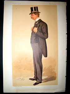
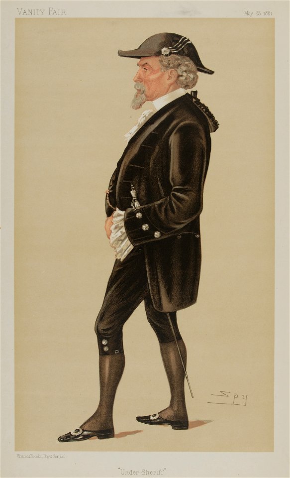
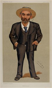
list of vanity fair (british magazine) caricatures (1890–1894)
caricatures by leslie ward in vanity fair
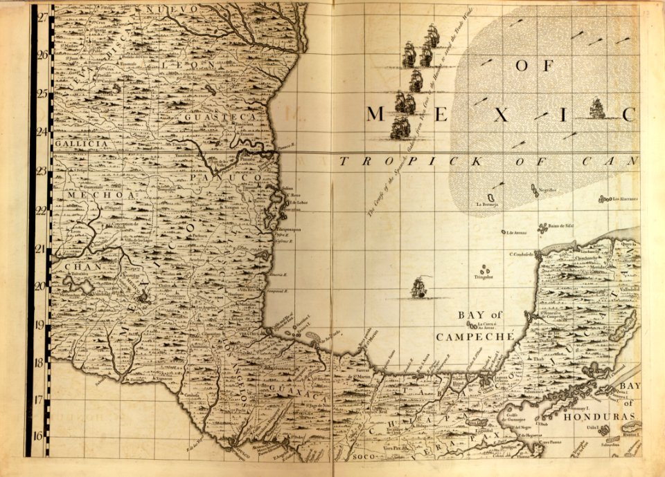
a map of the british empire in america with the french and spanish settlements adjacent thereto
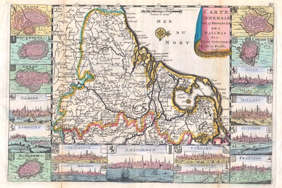
french-language maps
latin-language maps
maps by john thomson
english-language maps
16th-century maps of slovenia
old maps of croatia
old maps of the balkans
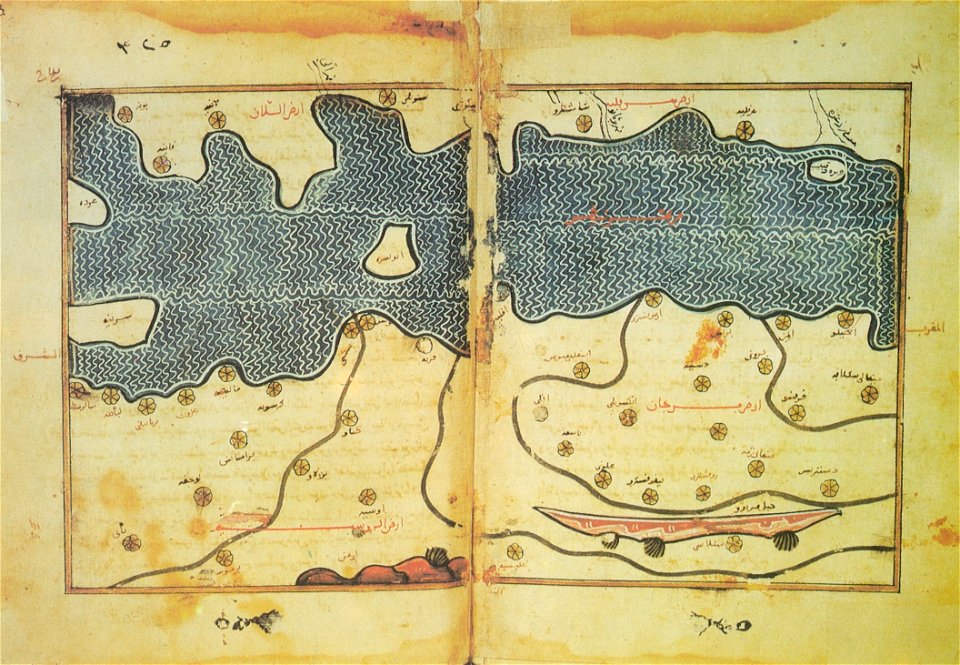
arabic-language maps
latin-language maps
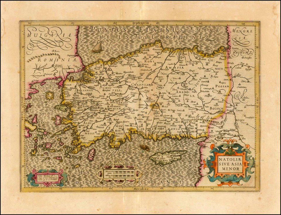
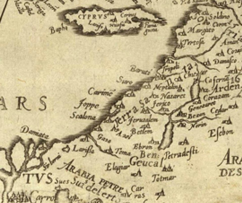
old maps of turkey
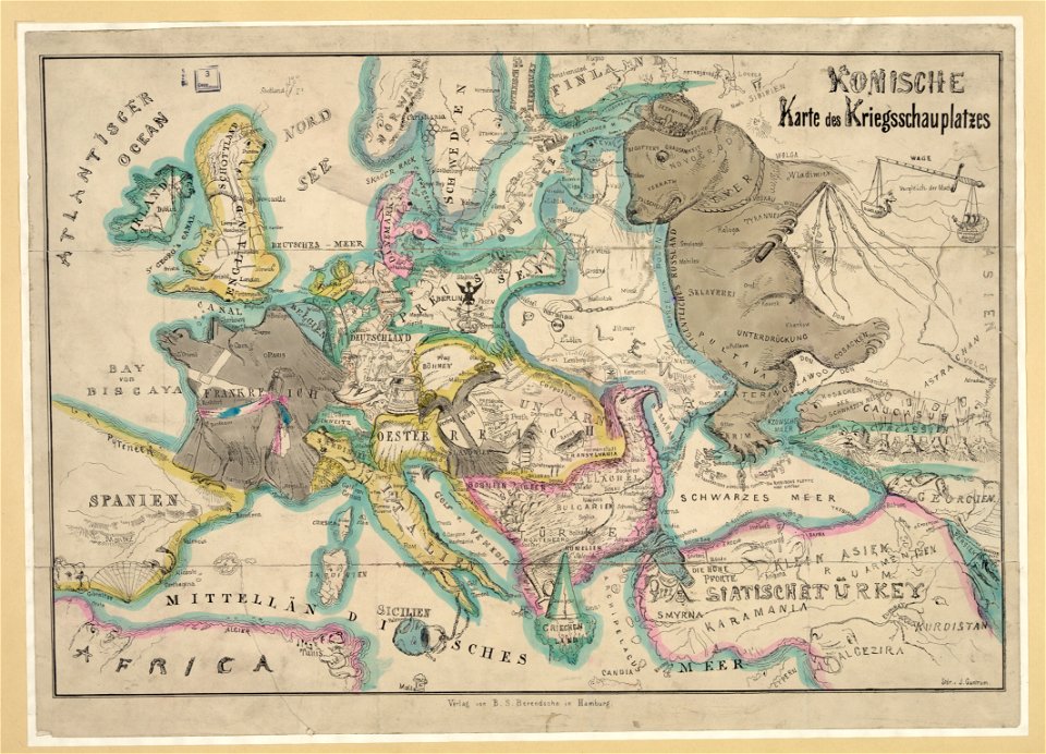
19th-century satirical maps
german-language maps
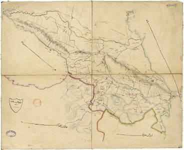
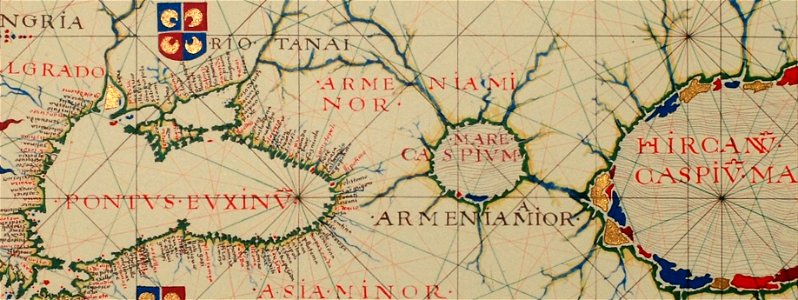
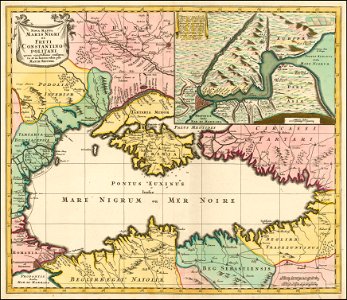
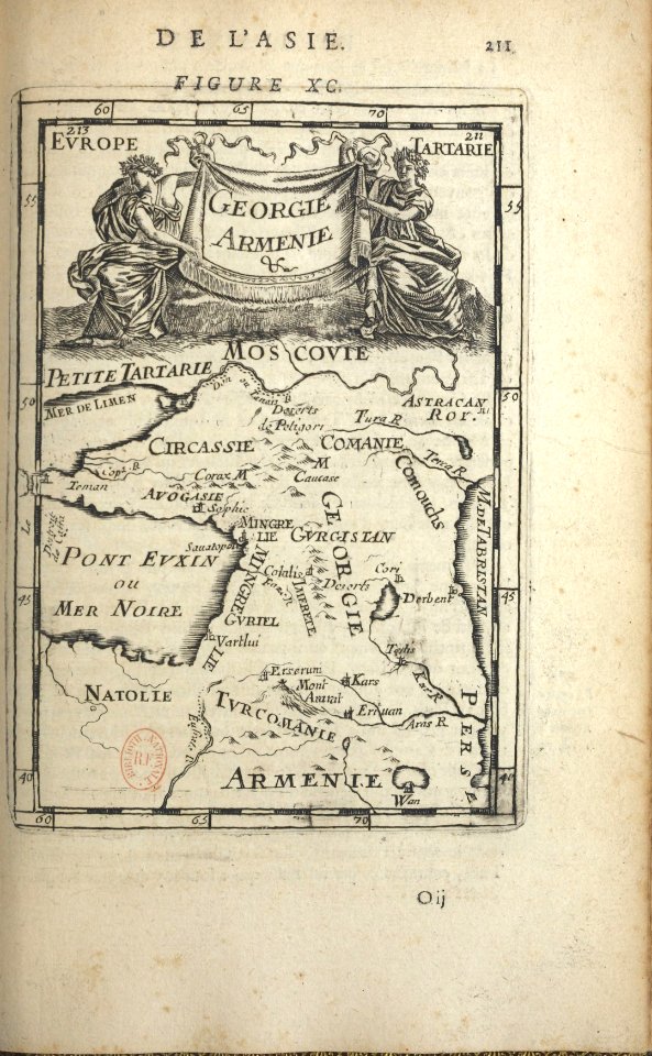
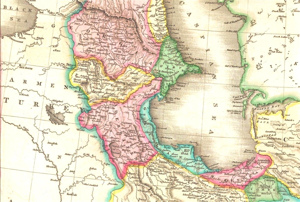
19th-century maps of the caucasus
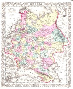
old maps of the russian empire
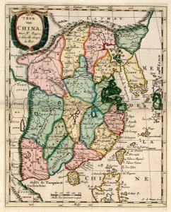
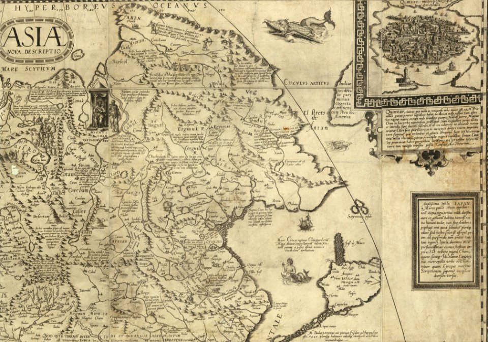
china in the 1700s
old maps of taiwan
17th-century maps of china
old maps of korea
16th-century maps of the black sea
16th-century maps of georgia
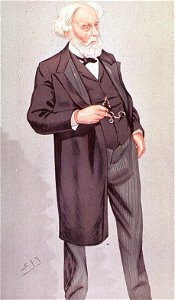
17th earl of derby
edward stanley
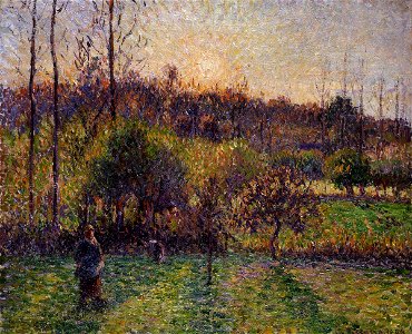
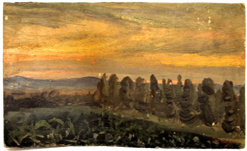
paintings of éragny-sur-epte by camille pissarro
1894 paintings by camille pissarro
19th-century paintings in the national museum in kraków
polish paintings in the national museum in kraków
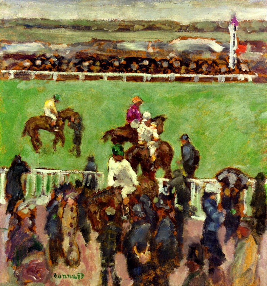
historical images of the hippodrome de longchamp
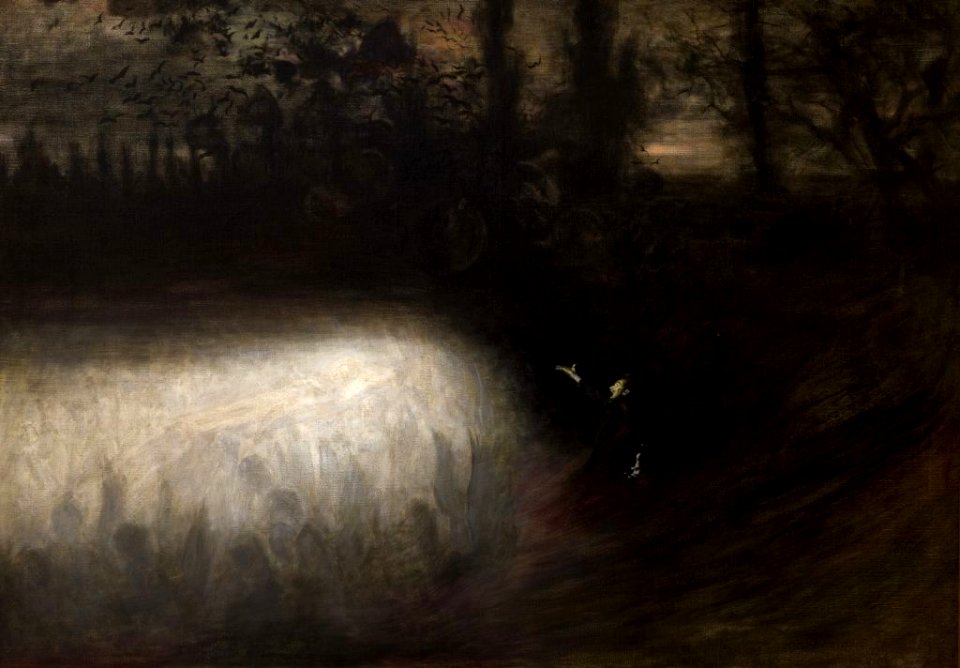
1894 paintings
caricatures by leslie ward in vanity fair
beard (surname)
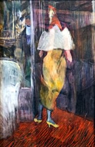
images by archaeodontosaurus albi musée toulouse-lautrec
may 2021 in tarn
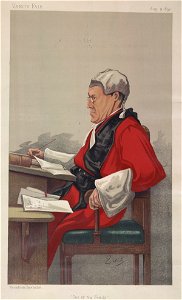
john burns (politician)
john burns
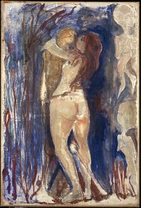
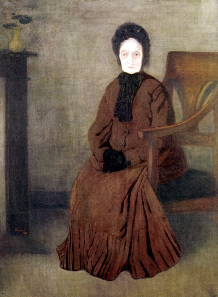
1890s paintings by edvard munch
1894 paintings
1897 deaths
1823 births
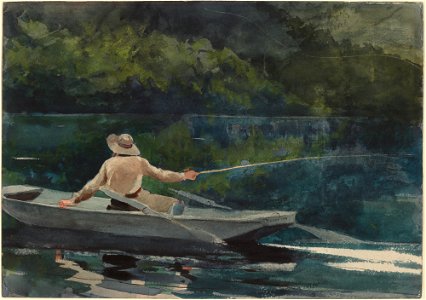
anglers in art
1894 paintings
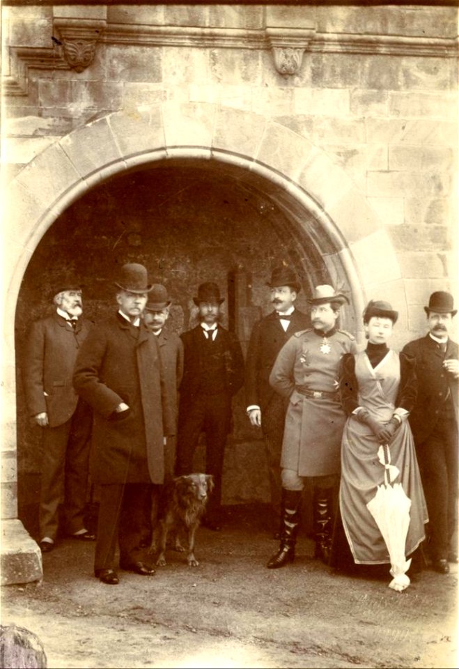
wilhelm ii of germany in photographs
charles alexander
zeitschrift des deutschen und oesterreichischen alpenvereins
salzburg
caricatures by leslie ward in vanity fair
lawyers from the united kingdom
landscape paintings in the musée d'art moderne et contemporain de strasbourg
19th-century landscape paintings
list of vanity fair (british magazine) caricatures (1890–1894)
caricatures by leslie ward in vanity fair
images from national museum in warsaw – needing category checks
1894 paintings of people
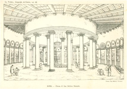
la patria; geografia dell' italia (church interiors)
santo stefano rotondo (rome) - interior
archduke of austria
generals of austria
list of vanity fair (british magazine) caricatures (1890–1894)
caricatures by leslie ward in vanity fair
maps in the library of congress
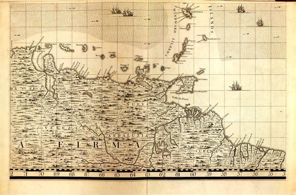
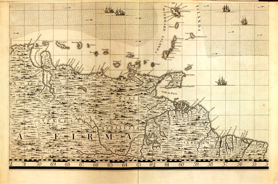
18th-century maps of barbados
maps in the library of congress
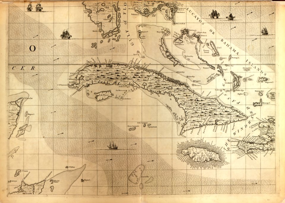
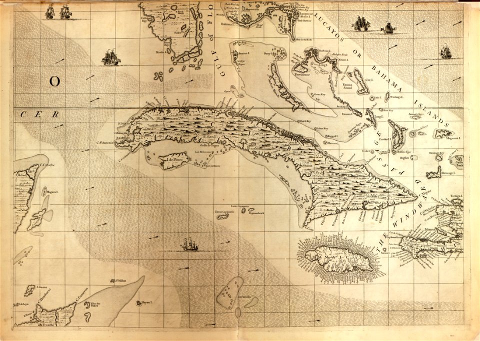
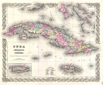
18th-century maps of cuba
maps in the library of congress
18th-century maps of cuba
a map of the british empire in america with the french and spanish settlements adjacent thereto
maps in the library of congress
a map of the british empire in america with the french and spanish settlements adjacent thereto
maps in the library of congress
maps in the library of congress
18th-century maps of barbados
19th-century oil portraits of sitting men at three-quarter length
19th-century portrait paintings in the united states
portrait paintings of women with vases with flowers
1894 portrait paintings of women
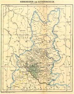
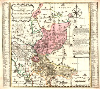
maps of the frankish territory
1892 maps
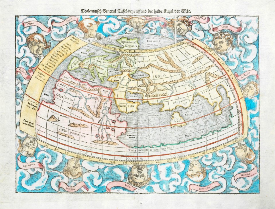
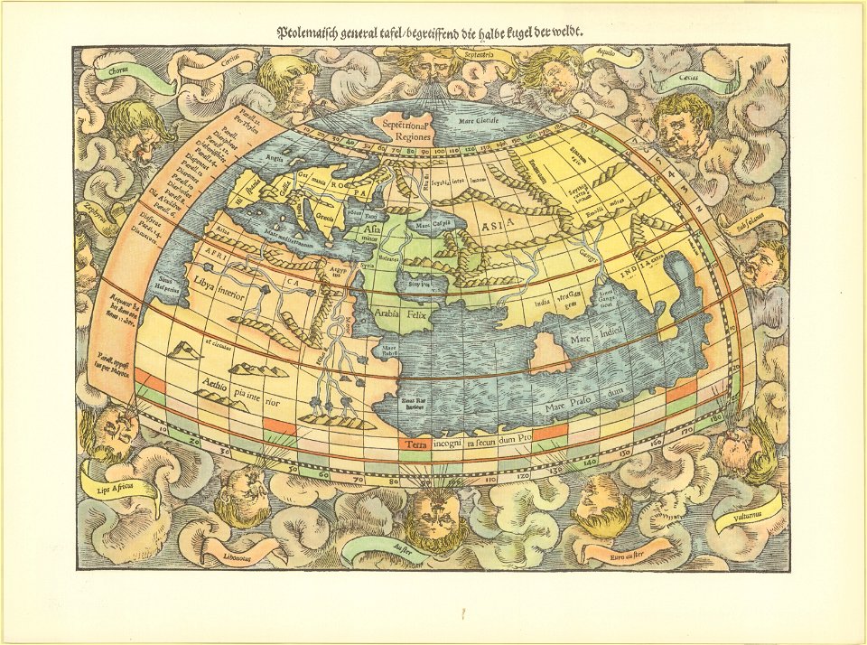
ptolemaic world maps
latin-language maps
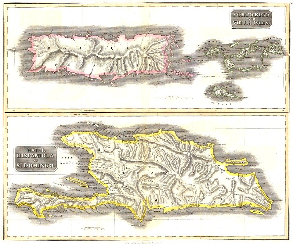
old maps of jamaica
colonial cuba
old maps of the russian empire
1855 maps
maps of native american tribal territories
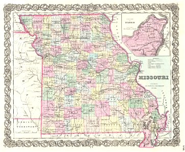
old maps of missouri
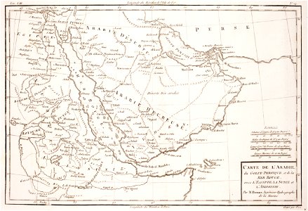
old maps of the middle east
1855 maps
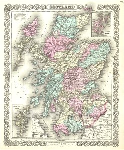
maps of traditional counties of scotland
old maps of scotland
18th-century maps of the black sea
maps by matthäus seutter
old maps of china
old maps of asia
italian-language maps
1776 maps
old maps of greece
1896 maps
maps by john thomson
1814 maps
maps by willem and johannes blaeu
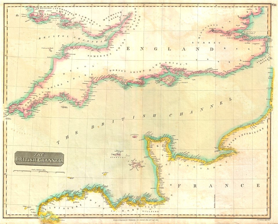
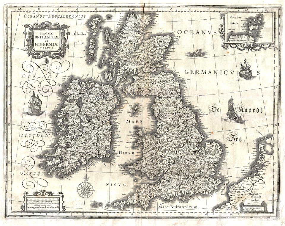
old maps of the british isles
maps by sebastian münster
ptolemaic world maps
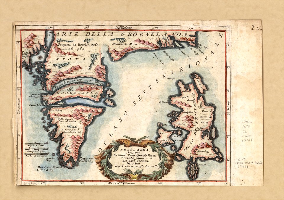
old maps of greenland
coats of arms on maps
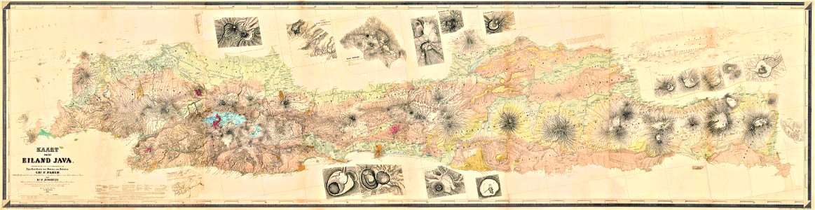
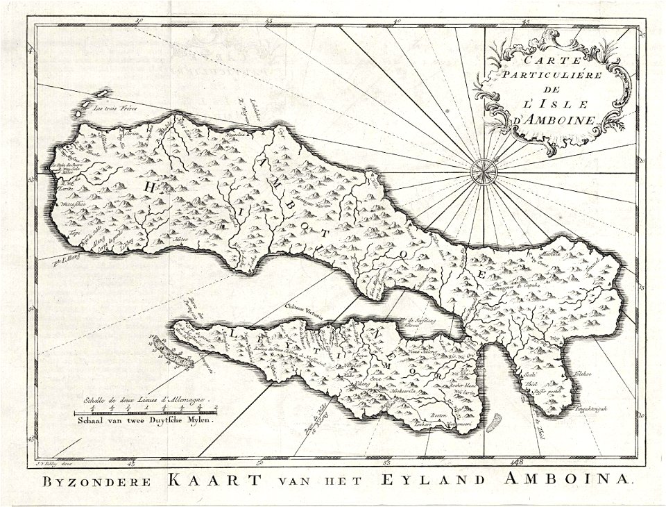
maps by franz wilhelm junghuhn
old maps of java
maps with figures
frans hogenberg
south dakota
iowa
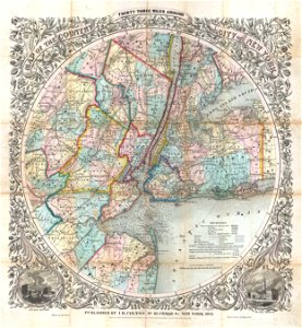
cartography of new york city
english-language maps
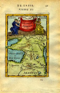
1590 maps of armenia
1590 maps of turkey
16th century maps of the middle east
1590 maps of israel
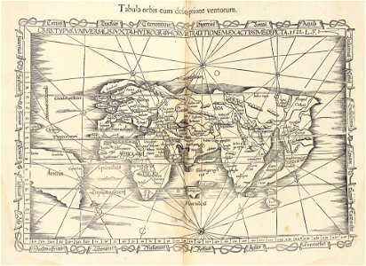
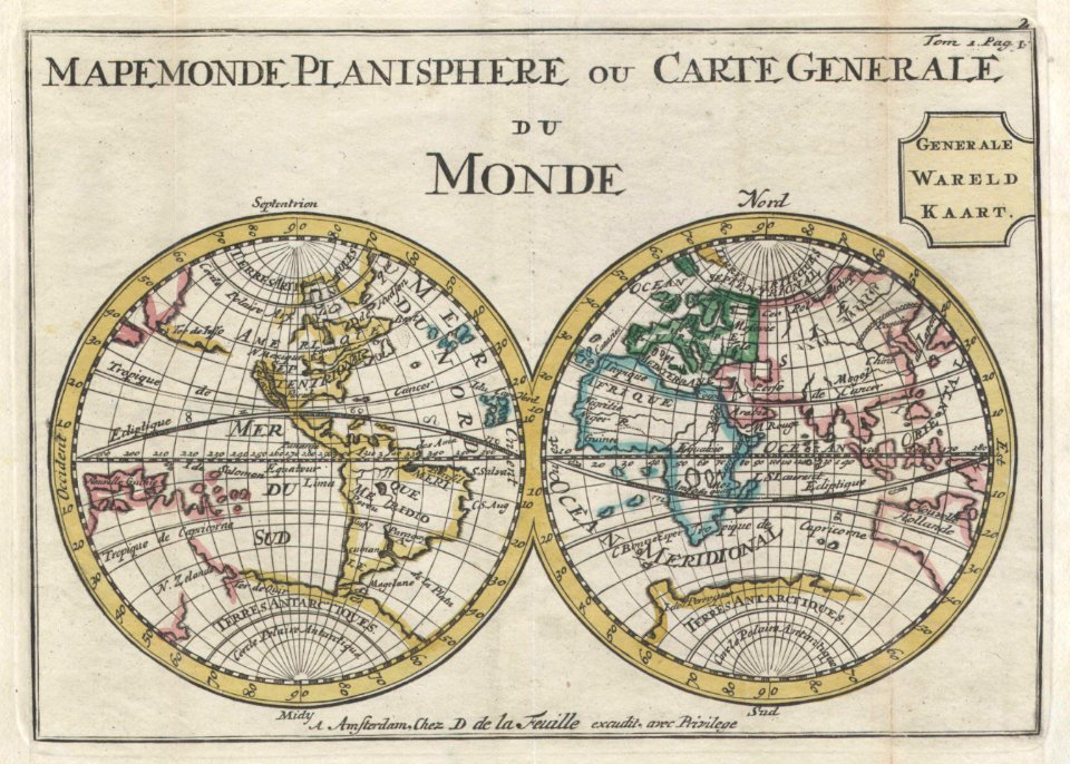
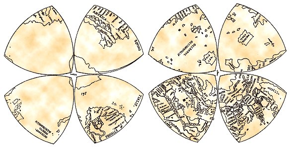
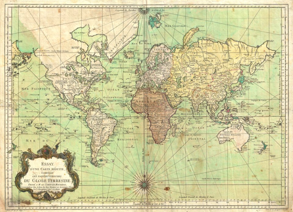
old maps of earth's hemispheres
double hemisphere world maps
french-language maps
1710 maps
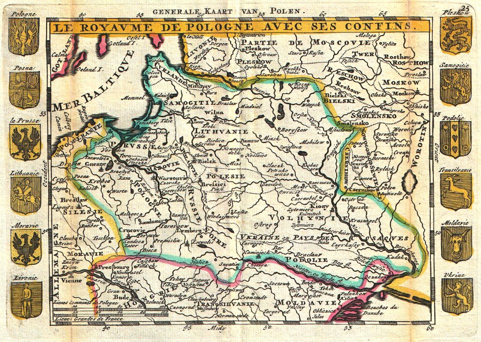
old maps of poland
johannes ratelband
reuleaux triangles
world map
17th-century maps of georgia
old maps of turkey
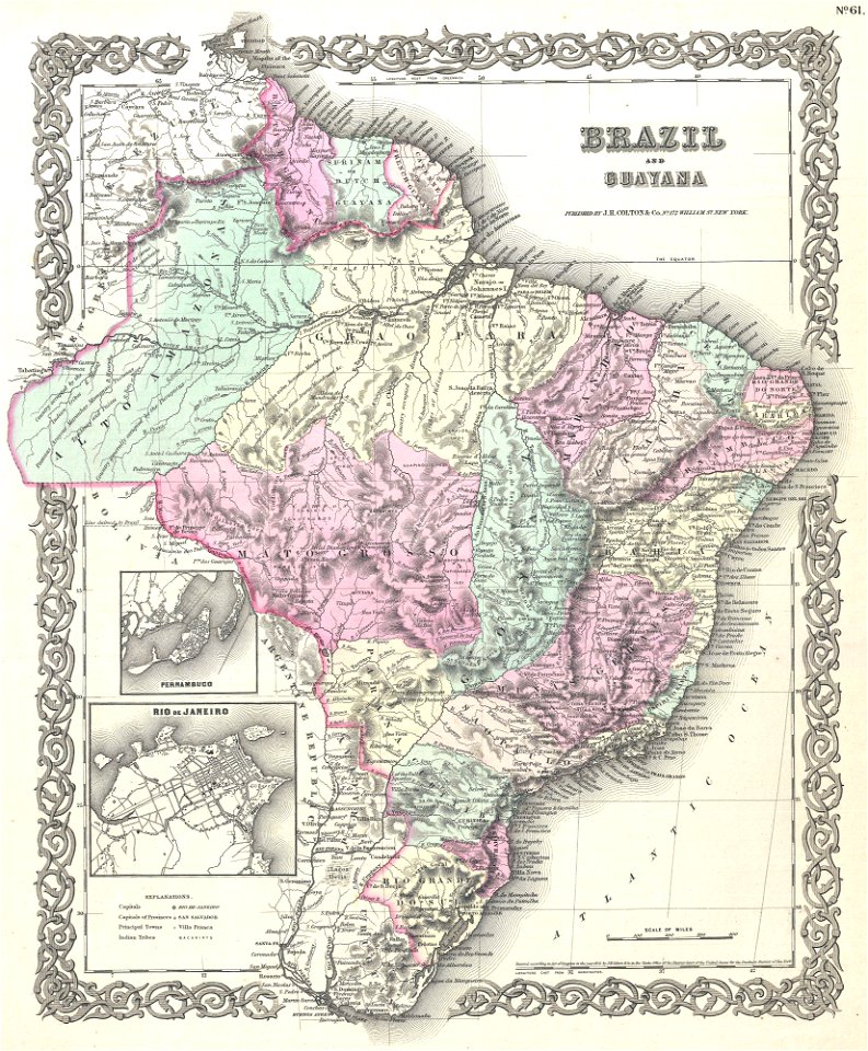
old maps of suriname
old maps of guyana
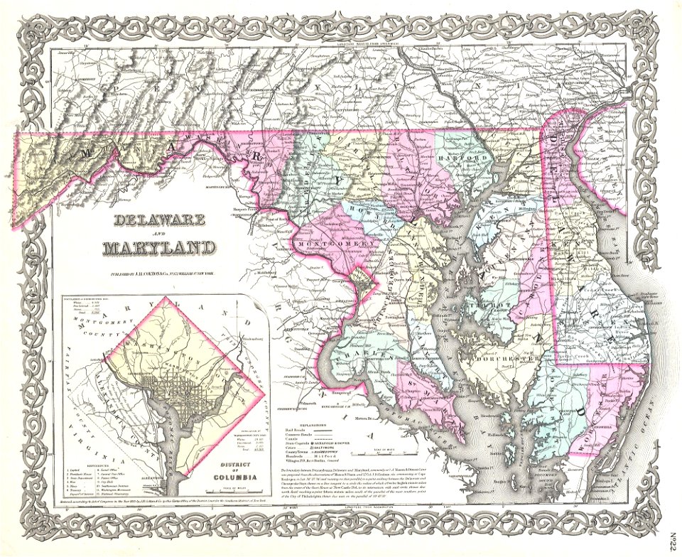
virginia
d.c.,
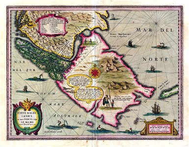
old maps of the falkland islands
old maps of patagonia
ships on maps
1628 maps
17th-century maps of georgia
old maps of turkey
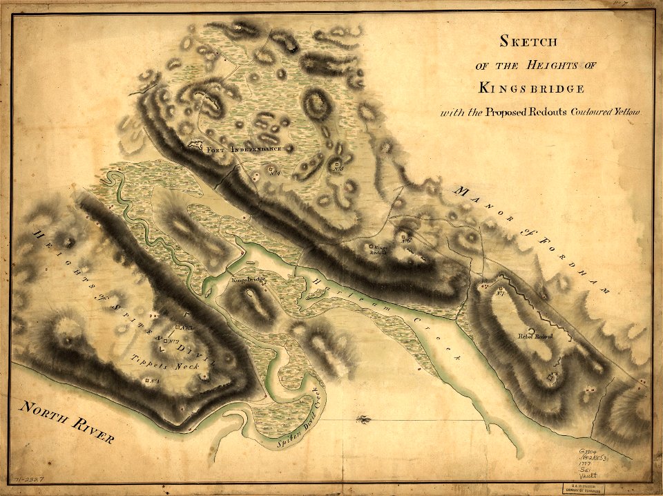
new york city
bronx
maps with cartouches
joan blaeu
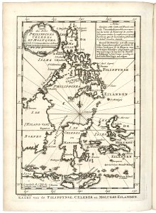
18th-century maps of indonesia
old maps of the philippines
old maps of the history of oceania
english-language maps
english-language maps
maps by john thomson
new york city
bronx
1780 maps of eritrea
1780 maps of egypt
historical maps of western sahara
dien (printer)
old maps of the middle east
harvard university
pieter van der keere
sindi people
old maps of the middle east
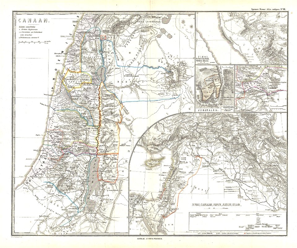
maps of canaan
old maps of greece
old maps of crete
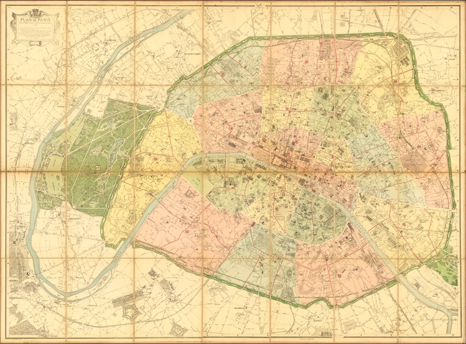
1870s maps of paris
1870 maps
19th-century maps of the caucasus
english-language maps
maps of okinawa islands
maps of guam
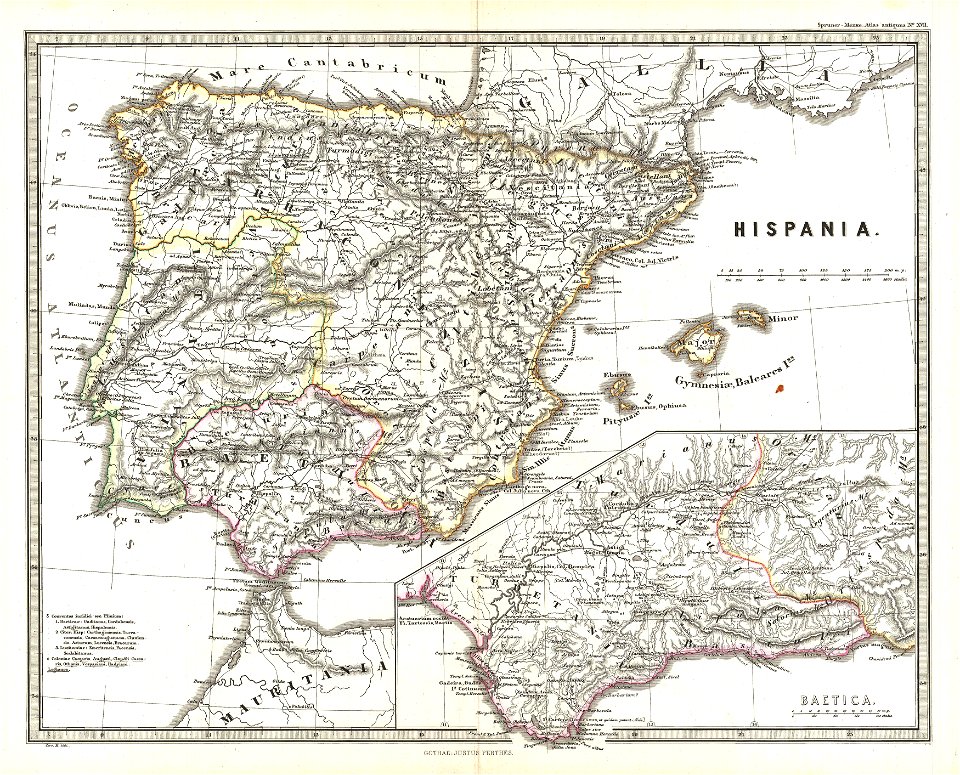
old maps of the iberian peninsula
1865 maps
maps by willem and johannes blaeu
coats of arms on maps
old maps of the persian gulf
1616 maps
maps by john thomson
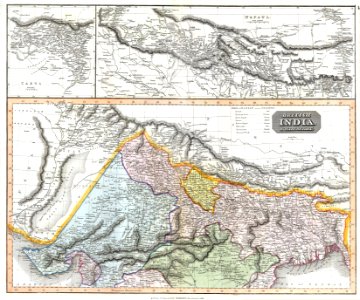
old maps of nepal
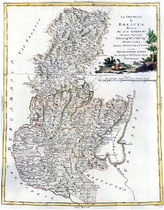
maps by antonio zatta
old maps of lombardy
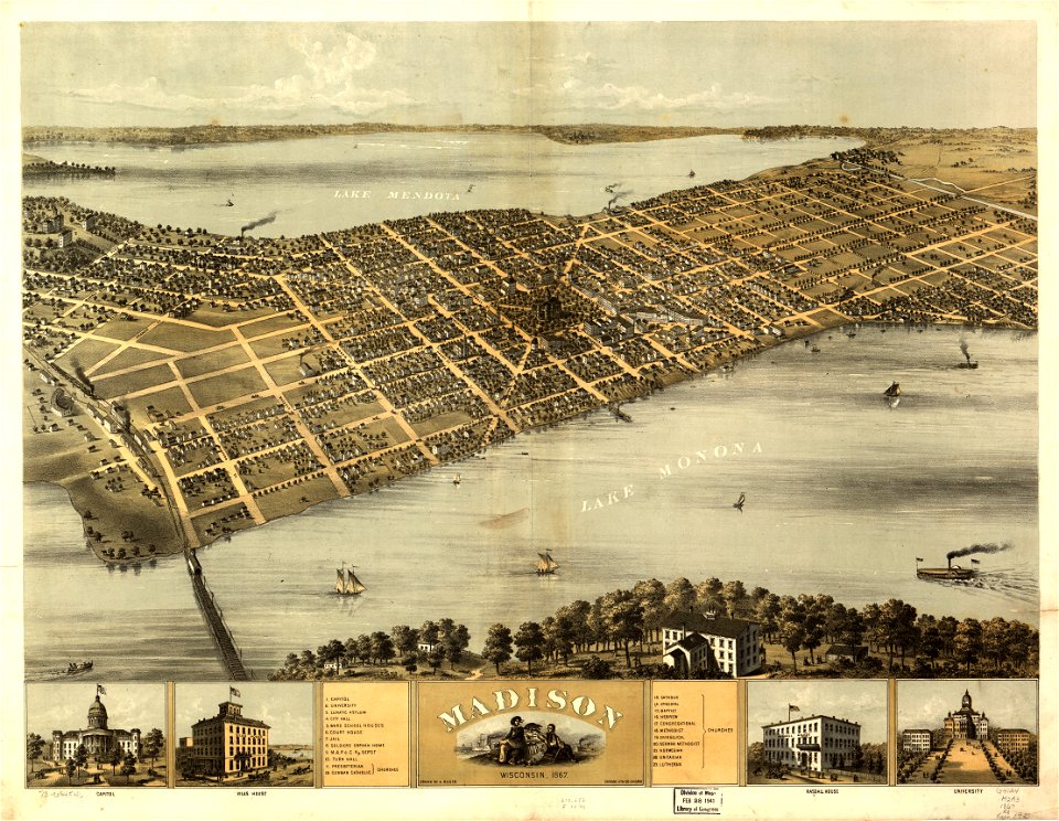
maps in the library of congress
wisconsin
maps in the library of congress
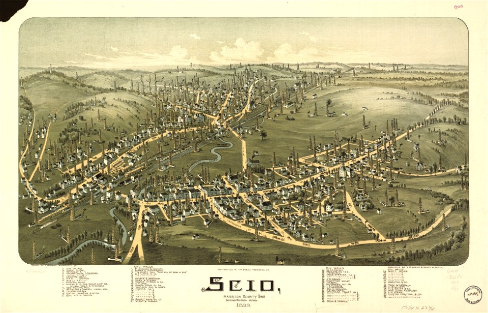
ohio
maps in the library of congress
ohio
maps in the library of congress
ohio
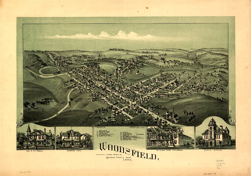
maps in the library of congress
ohio
new york city
1863 maps
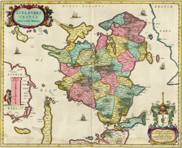
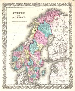
old maps of scandinavia
1855 maps
maps by jacques-nicolas bellin
german-language maps
maps in the national library of australia
maps by sebastian münster
old maps of saxony
pieter schenk (ii)
old maps of ayutthaya
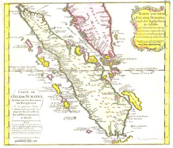
1753 maps
18th-century maps of indonesia
1753 maps
maps by jacques-nicolas bellin
jacques-nicolas bellin
maps by jacques-nicolas bellin
old maps of saint lucia
2101 - 2200 of 38,814
Next page
/ 389